

Geological structure was the fundamental prerequisite for the formation of the Plitvice Lakes. This fact explains the need for a thorough understanding of the bedrock underlying the Plitvice Lakes and highlights the importance of continuous research into its geological structure. Considering that the last systematic research of the Plitvice Lakes National Park area were carried out back in the 1960s, there was a justified need for creating a modern geological map based on a lithostratigraphic principle, accompanied by digital content.
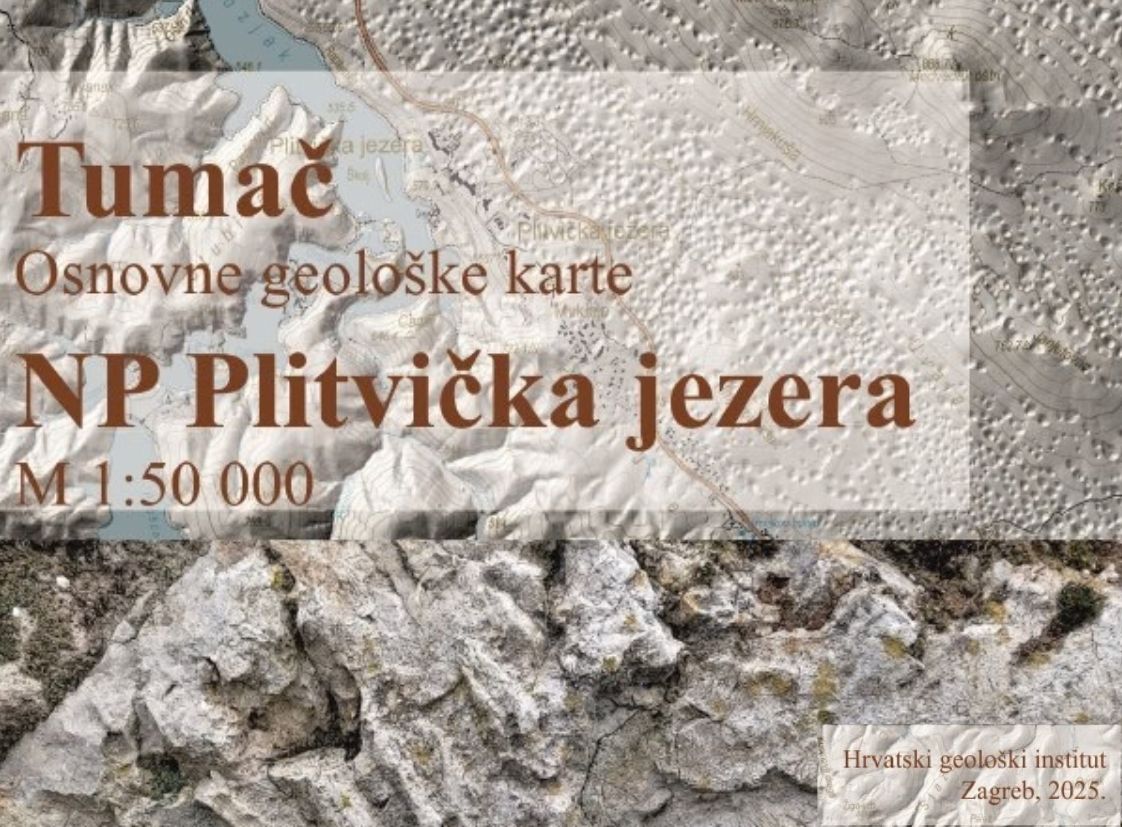
The project to produce the Basic Geological Map of Plitvice Lakes National Park at a scale of 1:50 000, together with the Explanatory Notes for the Basic Geological Map of Plitvice Lakes National Park, was carried out from 2021 to 2025 by the Croatian Geological Survey, in cooperation with the staff of Plitvice Lakes National Park. More than 30 experts participated in the preparation of the map and the accompanying explanatory notes.
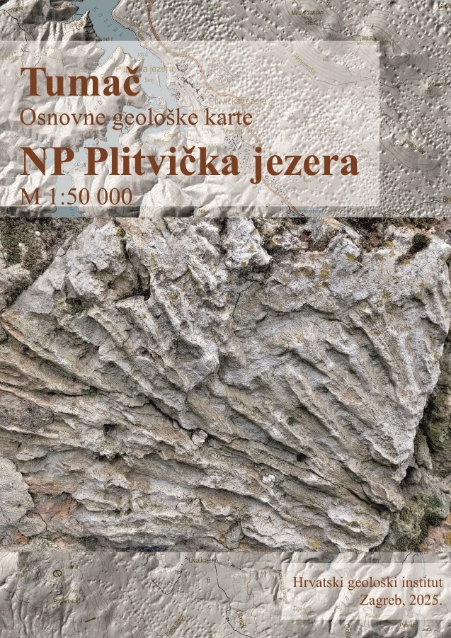
A geological map is a multidisciplinary scientific and reference work based on systematic geological research across various geological disciplines. For national parks, geological maps primarily enable a higher quality assessment and management, and a more detailed evaluation of existing natural resources, as well as greater visibility of the deep interconnection between geology and other components of the ecosystem.
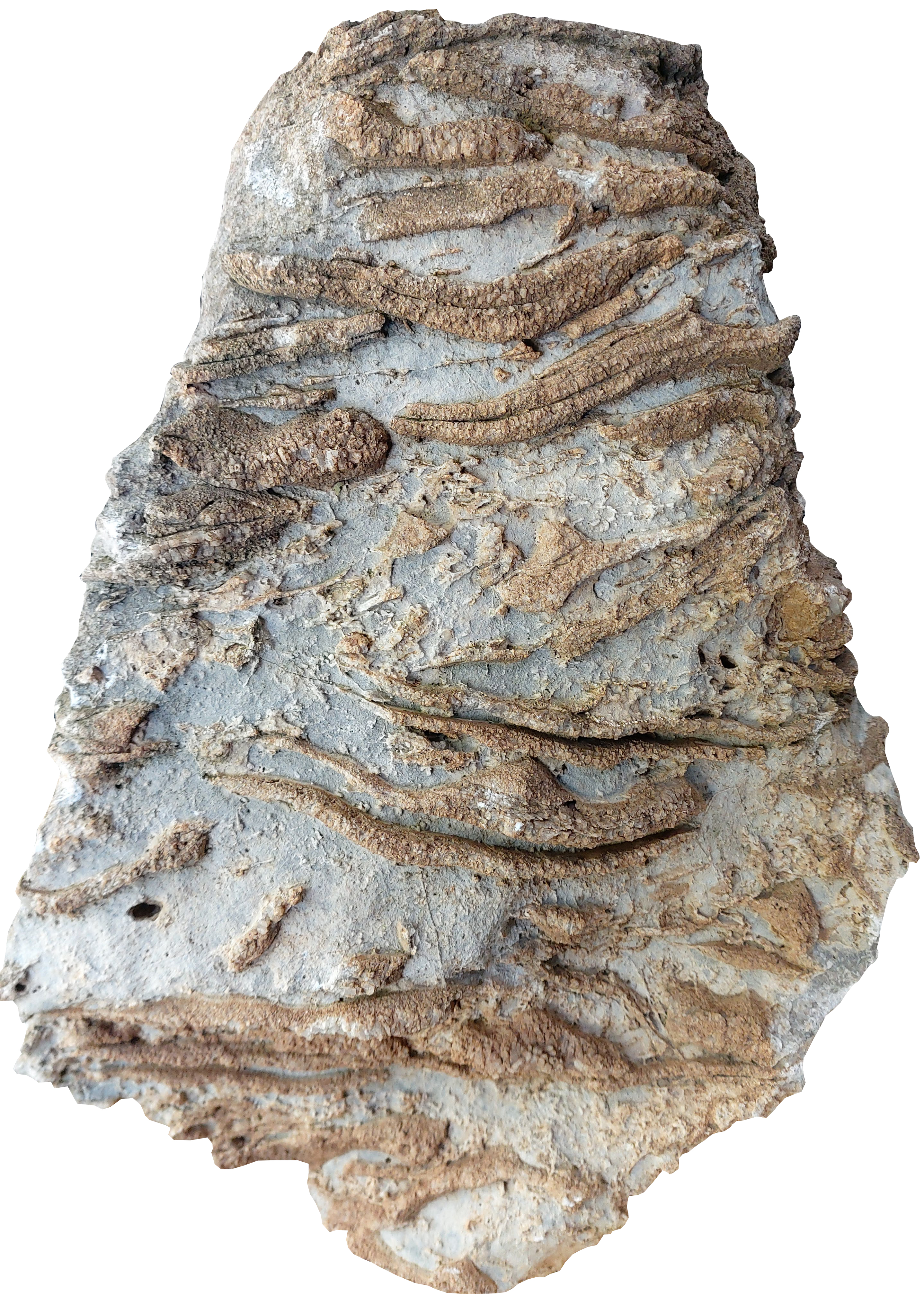
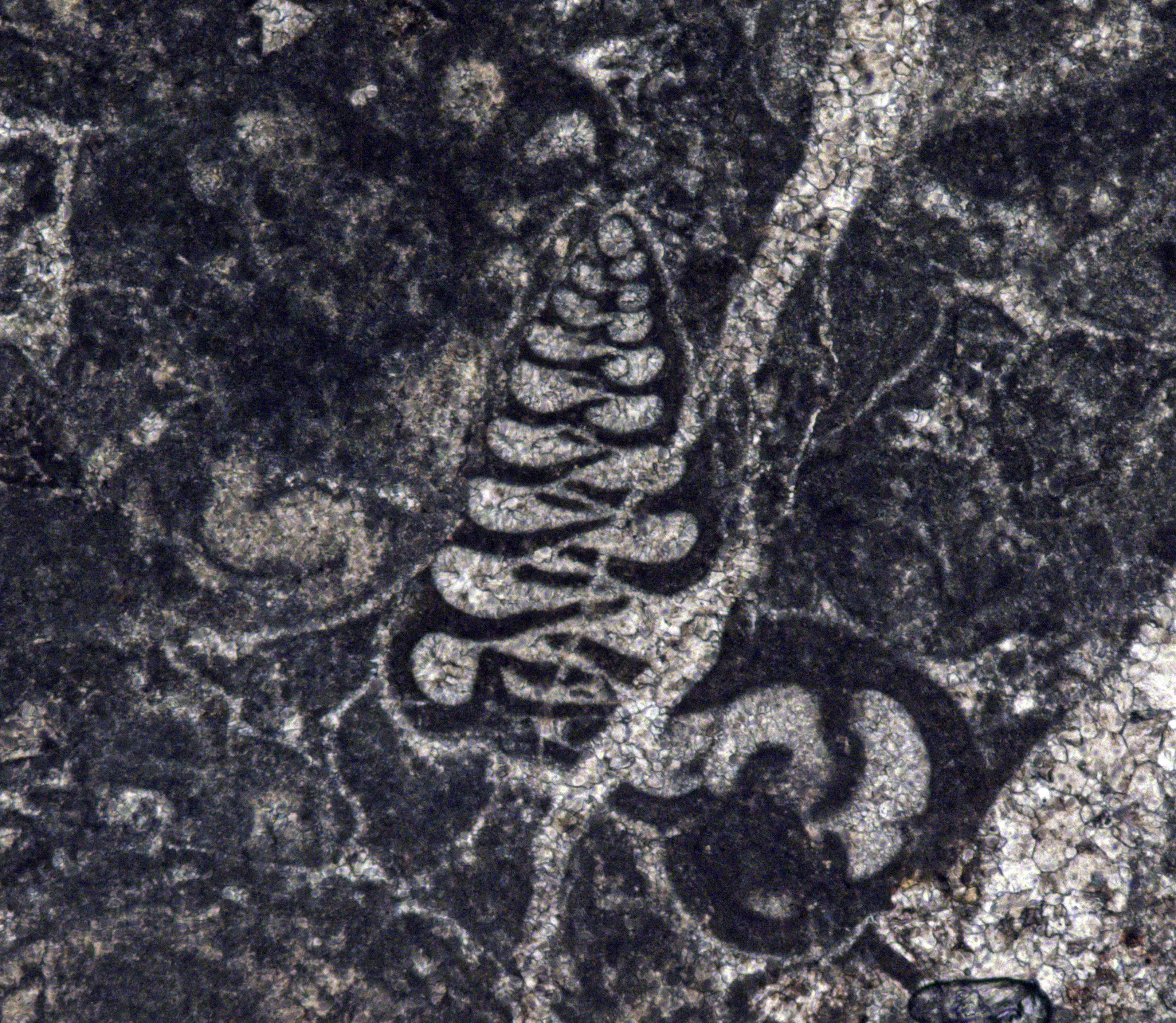
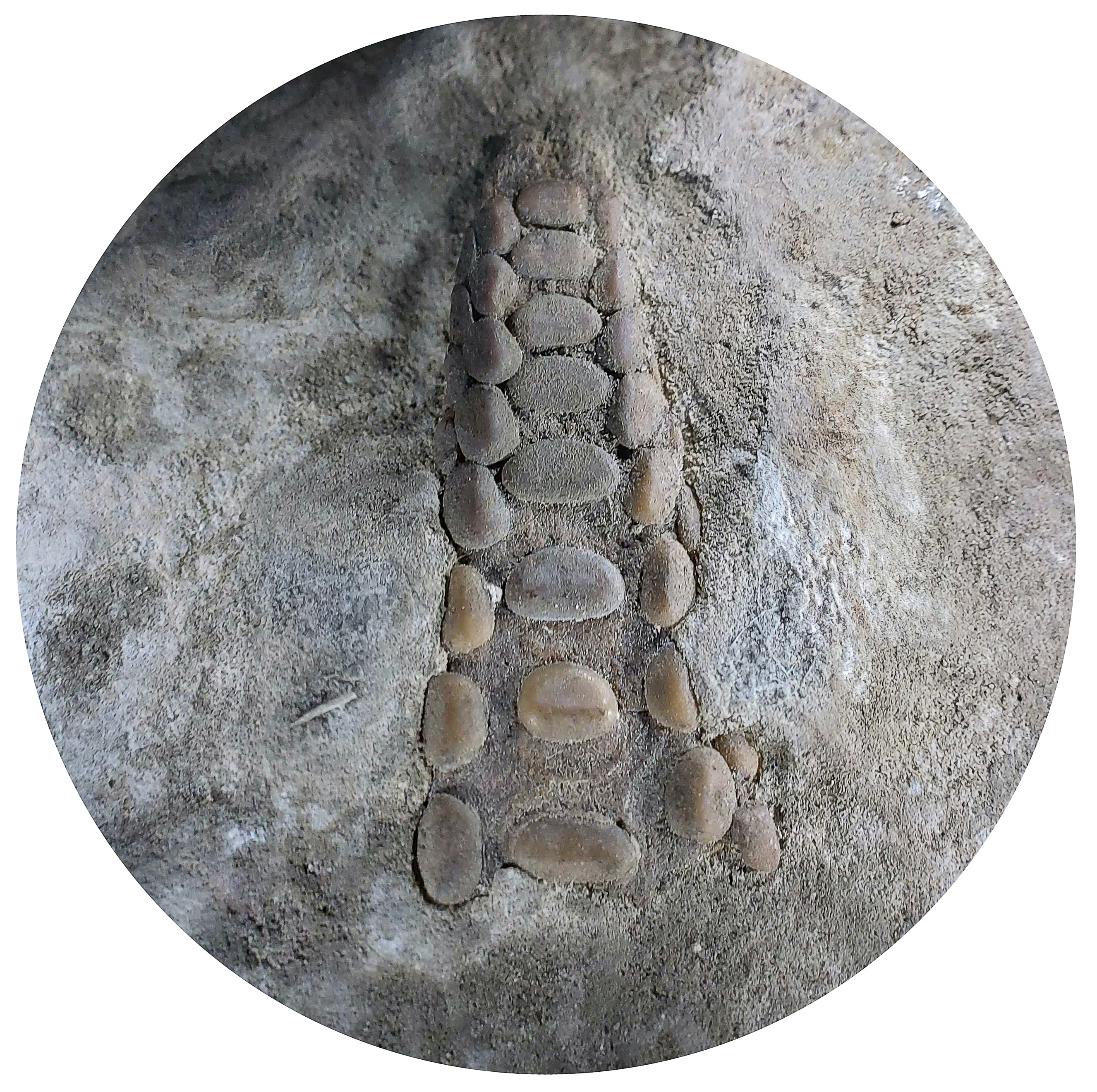
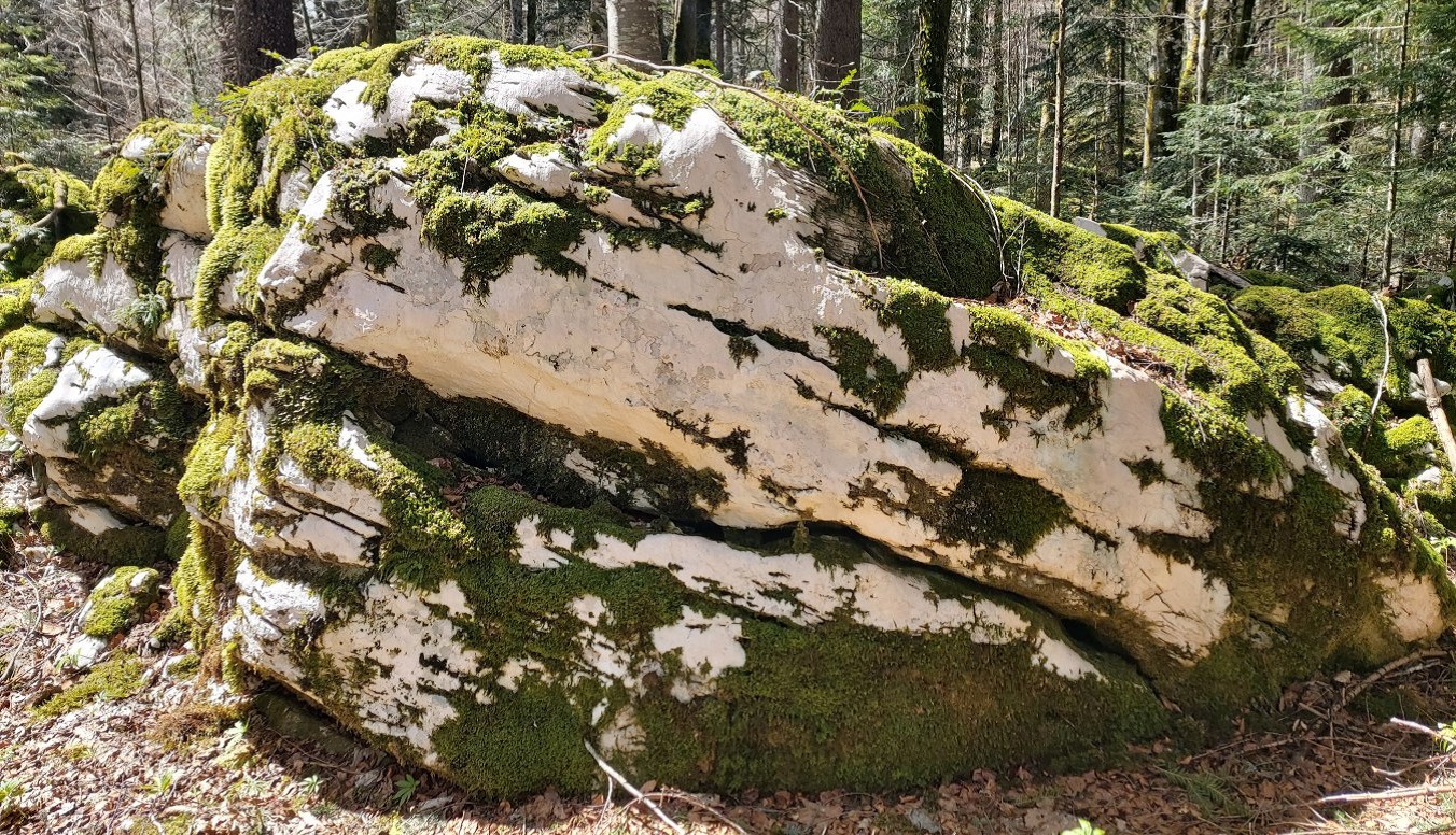
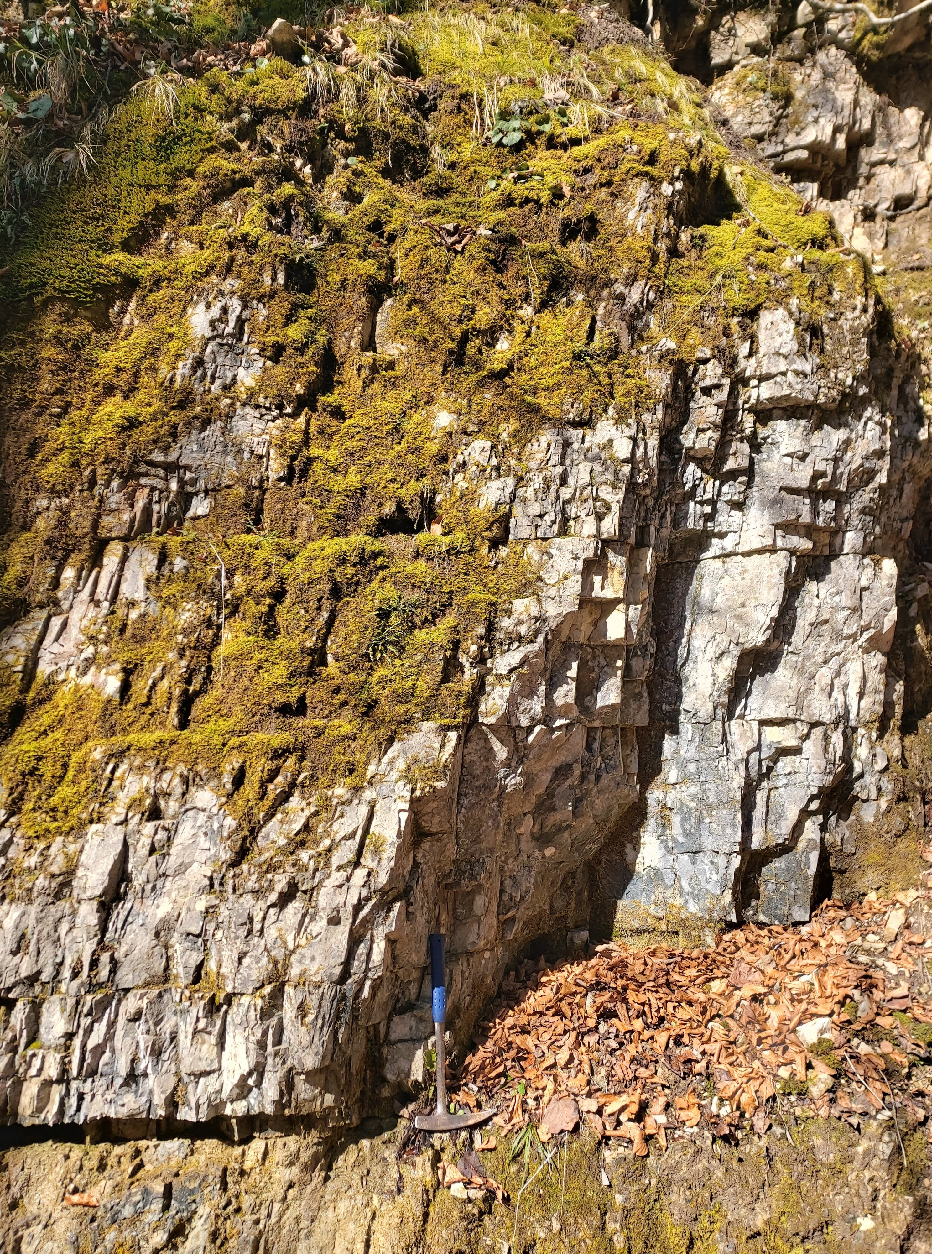
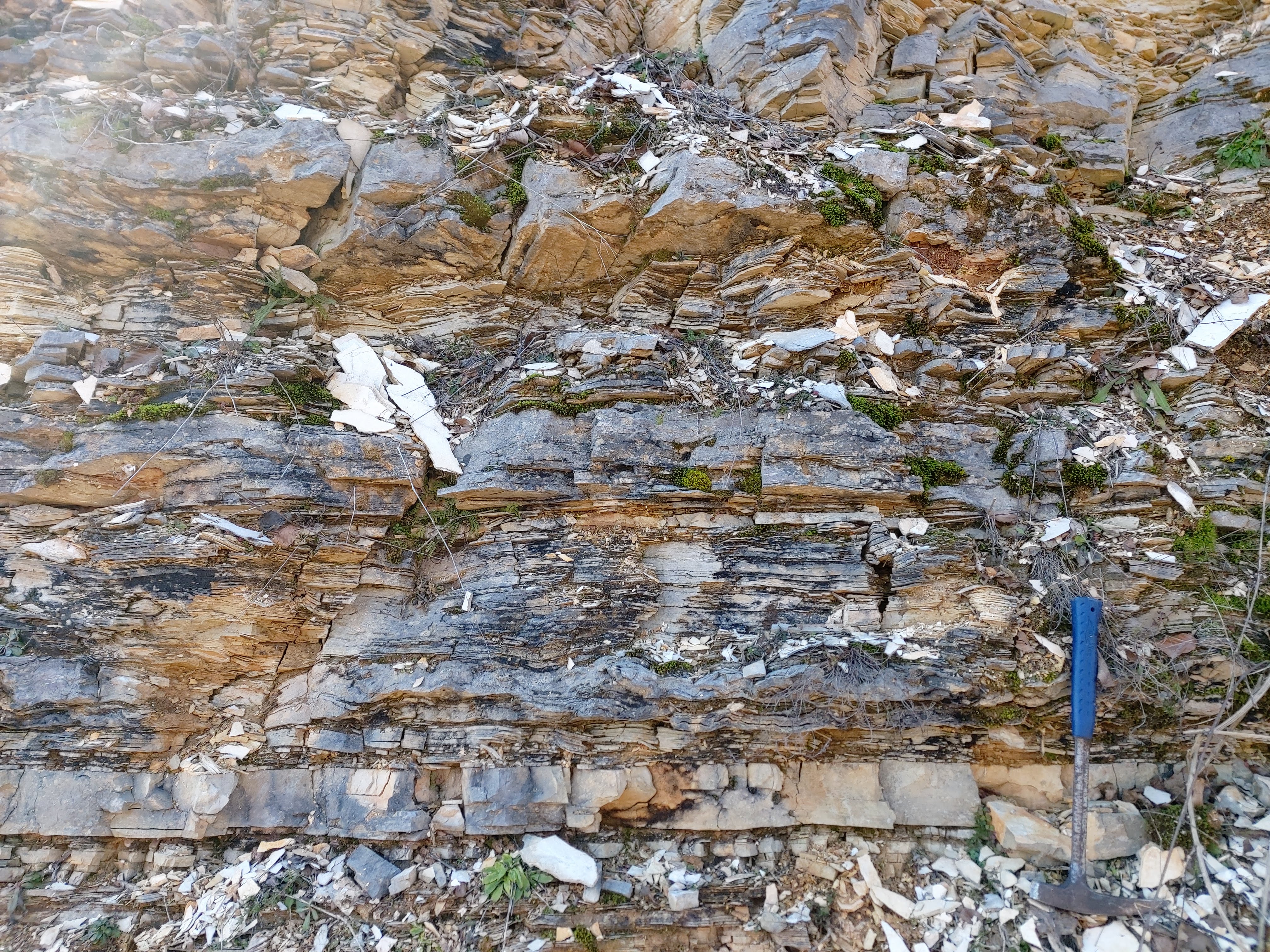
The national park is located within the Dinaric massif and consists almost entirely of dolomite and limestone. Geological mapping identified a total of 24 lithostratigraphic units, 15 formations, 3 members, and 6 unconformity-bounded Quaternary units, spanning a period from the Late Triassic to the Late Cretaceous (200 to 70 million years ago). A special section dates from the recent geological past, namely the last 10,000 years, during which the tufa barriers and most of the lake system were formed. The map provides valuable insight into the geological structure and development of the area around the Plitvice Lakes National Park. During the four years of field research, which included prospecting, geological profile surveying and geological mapping, numerous representative rock samples containing fossils were collected. The samples were set aside and stored in the geological heritage collection of Plitvice Lakes National Park, further enriching the collection and documenting the geological diversity of the Park. The new map will provide a basis for numerous specialised studies, primarily in the fields of hydrogeology, speleology, geomorphology, and dating of tufa barriers.