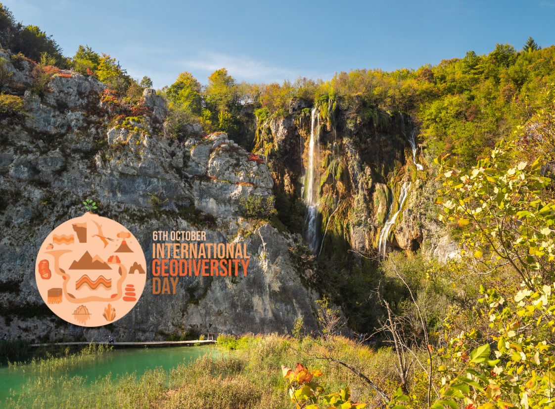
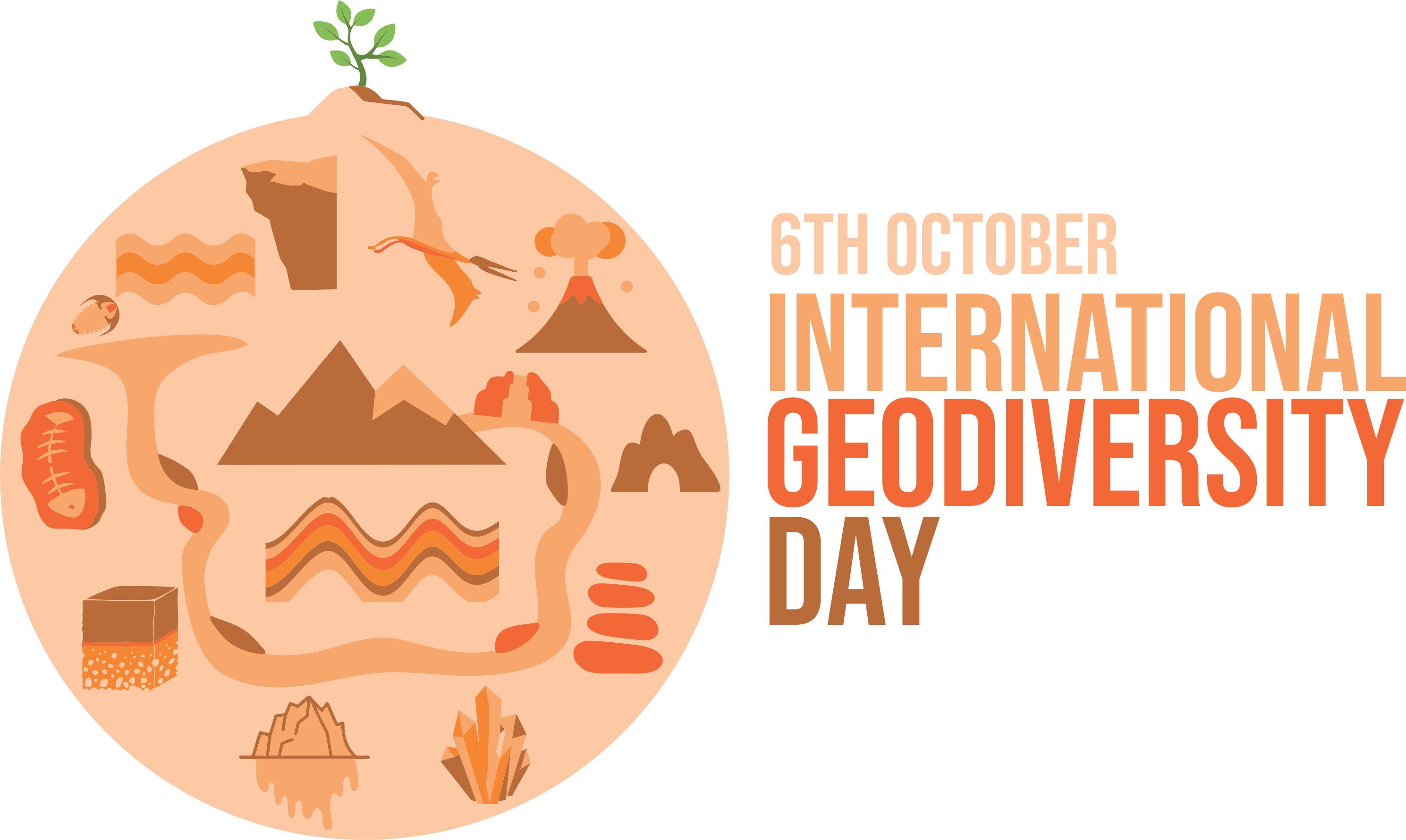
Geodiversity surrounds us and encompasses the non-living elements of nature, such as minerals, fossils, soils, and landscapes. To raise awareness of its significance, UNESCO declared 6 October as International Geodiversity Day in 2021.
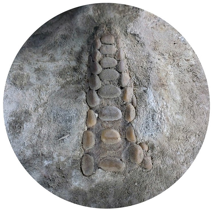
This year’s theme, One Earth, Many Stories, highlights that every landscape, rock, and fossil tells a story about the origins of our natural environment. Records in rocks allow us to look into Earth’s past, fossil remains of plants and animals inform us about the evolution of life over millions of years, folds and faults reveal events in the Earth’s crust, and minerals astonish us with their regular geometric crystallisation, beautiful colours, and lustre. The geological substrate determines soil characteristics, which plant species will develop, where water will emerge, where streams and rivers will flow, where mountains will rise, and where caves and pits will form. Thus, geodiversity influences all living things. Our planet holds a record of 4 billion years of history, which can help us prepare for and respond to current and future threats such as climate change.
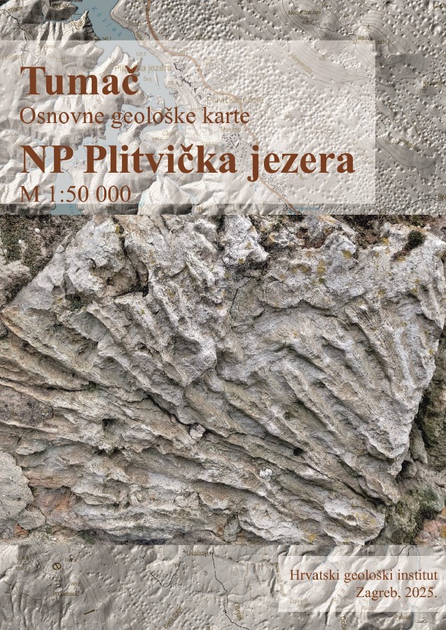
As the last systematic exploration of the Plitvice Lakes National Park area dates back to the 1960s, there is a clear need for a modern geological map based on lithostratigraphic principles, accompanied by digital content. Geological maps primarily enable national parks to better assess and manage natural resources and to visualise the pervasive connection between geology and other ecosystem components. Just before International Geodiversity Day, a new Basic Geological Map of the Plitvice Lakes National Park was published at a scale of 1:50 000. The project was carried out in cooperation with the Croatian Geological Institute in Zagreb, and the creation of the map took four years and involved more than 30 experts.
The national park is located within the Dinaric Massif and consists almost entirely of dolomite and limestone. Geological mapping identified 24 lithostratigraphic units, 15 formations, 3 members, and 6 Quaternary units bounded by unconformities, covering the period from the Late Triassic to the Upper Cretaceous (200 to 70 million years ago). A special section covers the recent geological past, the last 10 000 years, when the tufa barriers and most of the lake system were formed. The map provides valuable insight into the geological structure and development of the Plitvice Lakes National Park area and is a true collection of stories about the geodiversity of our Park.
