
On the source
According to scientific research, the total volume of surface water of the Plitvice Lakes Lake System is about 22.95 million m3. The vast majority of this large amount of water comes from two main sources; source of the Crna Rijeka river and the source of the Bijela Rijeka river, somewhat hidden from the visitor’s views and located in areas of strict protection. The Plitvice river, which joins the lake system at it’s very end, begins with another large source in the park.
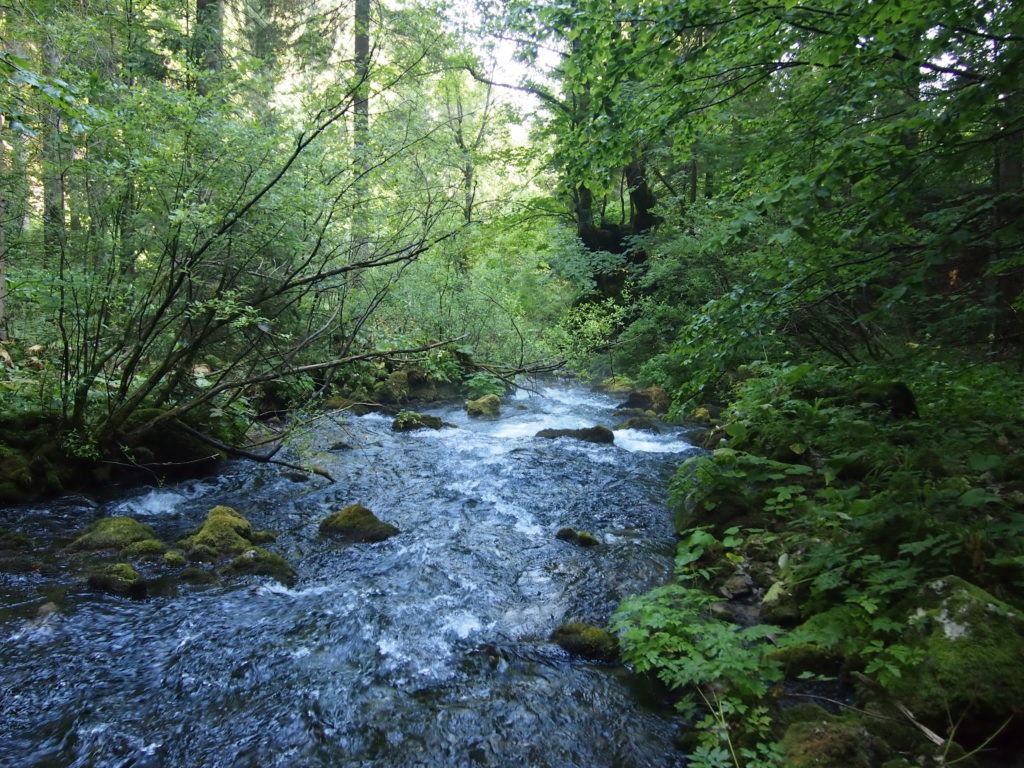
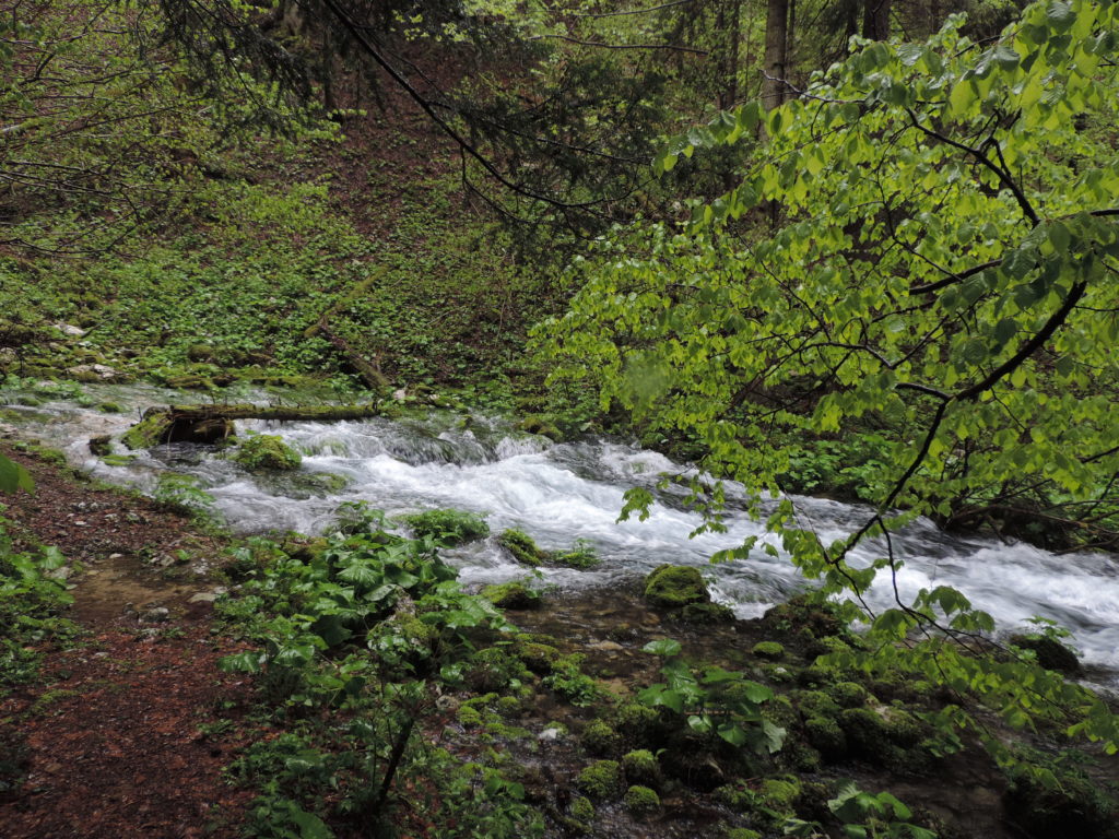
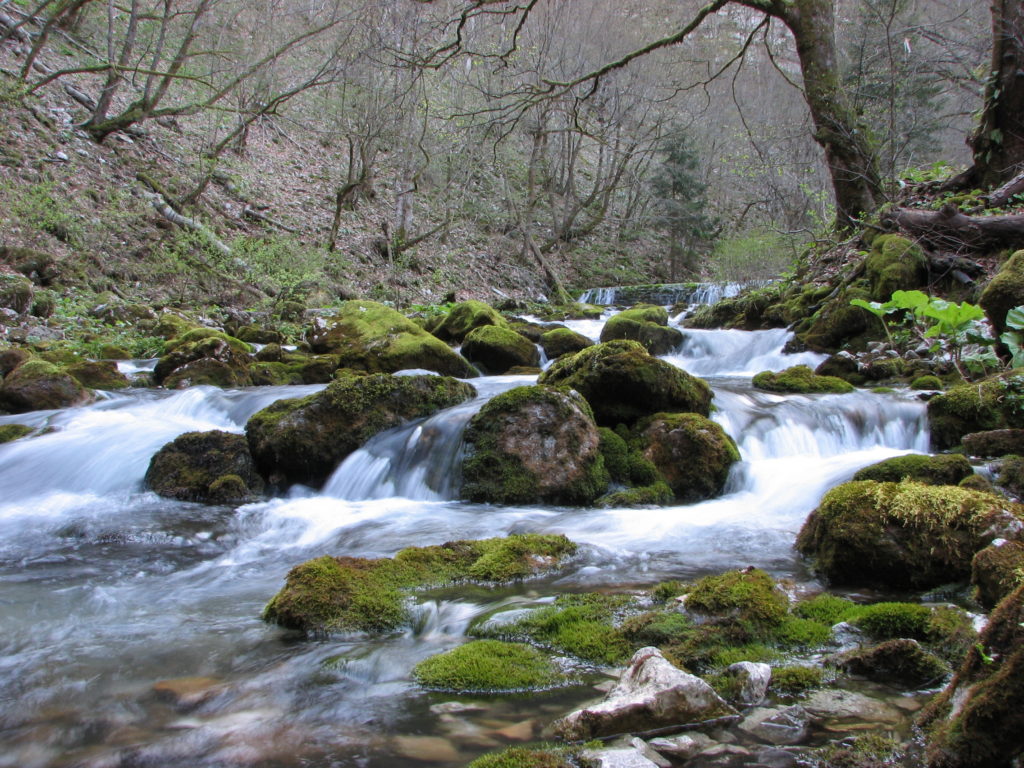
The source of the Crna Rijeka is beneath the vertical rocks at a height of 680 m at the foot of Mount Kik north of the Uvalica settlement. It never dries, and even during extremely low water levels it is very powerful. It runs in the direction of the Plitvice Ljeskovac settlement with a 2,1 km long culvert, where the bottom is covered with black moss in many places, from the name of the river (Black River). The source of the Crna Rijeka is the source of the largest flow in the park area.
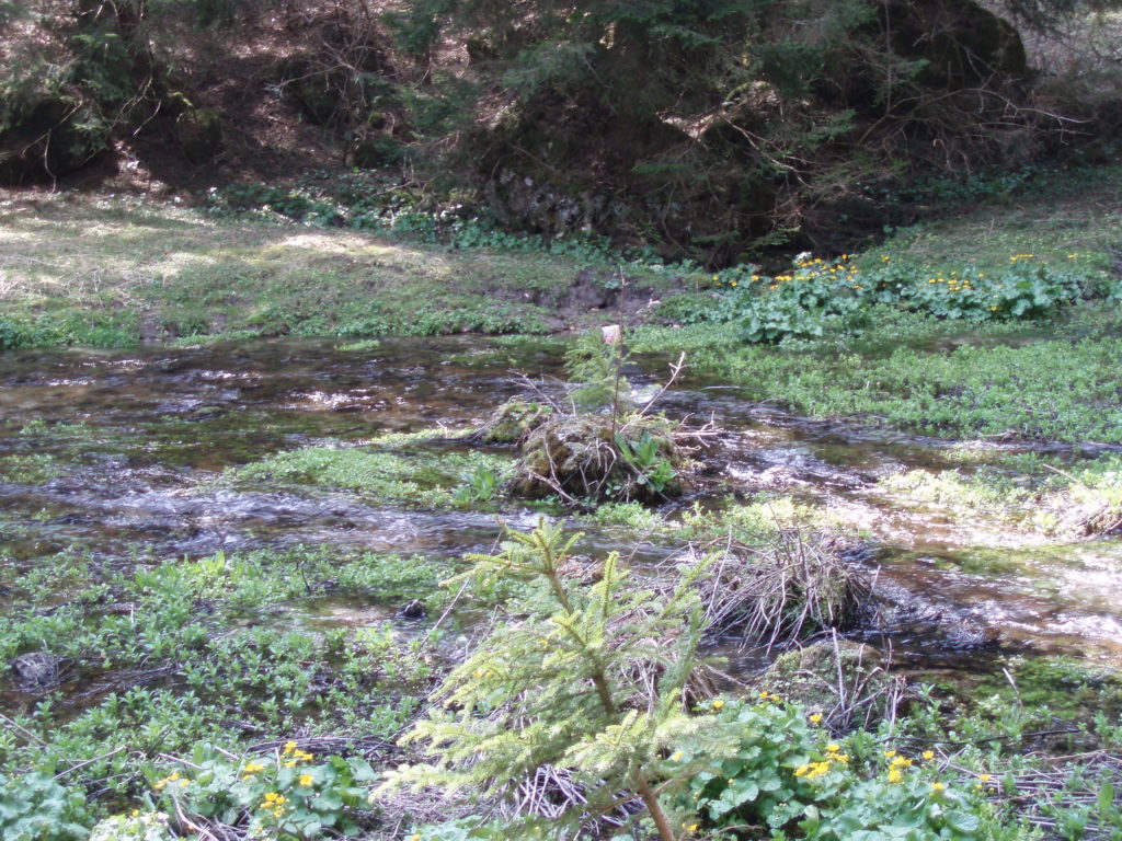
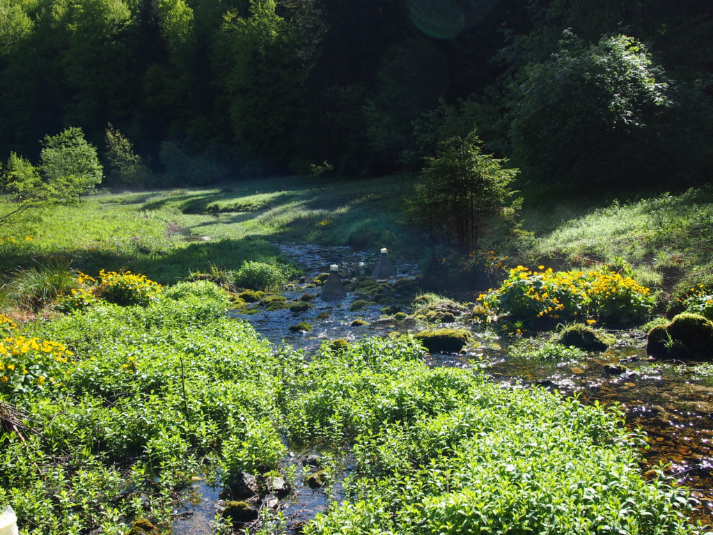
The source of the Bijela Rijeka is located in the Čudin Klanac area on the west side of the Plitvice Ljeskovac settlement at an altitude of 719 m. It is a permanent karst spring that is dry only during extremely dry years. From several smaller springs the water springs from pebble-sandy terrain covered with stones and connects to a stream that continues to Plitvice Ljeskovac. The specificity of this source is also higher amounts of white, calcite sand by which the river has its name (White River). Once upon a time along the Bijela Rijeka there was a whole range of dams and artificial lakes (accumulations) built for saw and mills. Today there is a mill that is no longer in service.
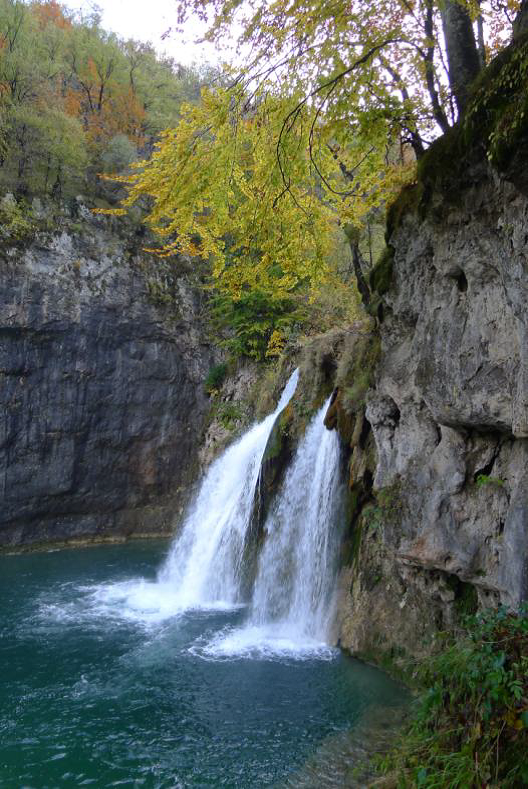
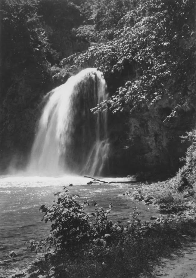
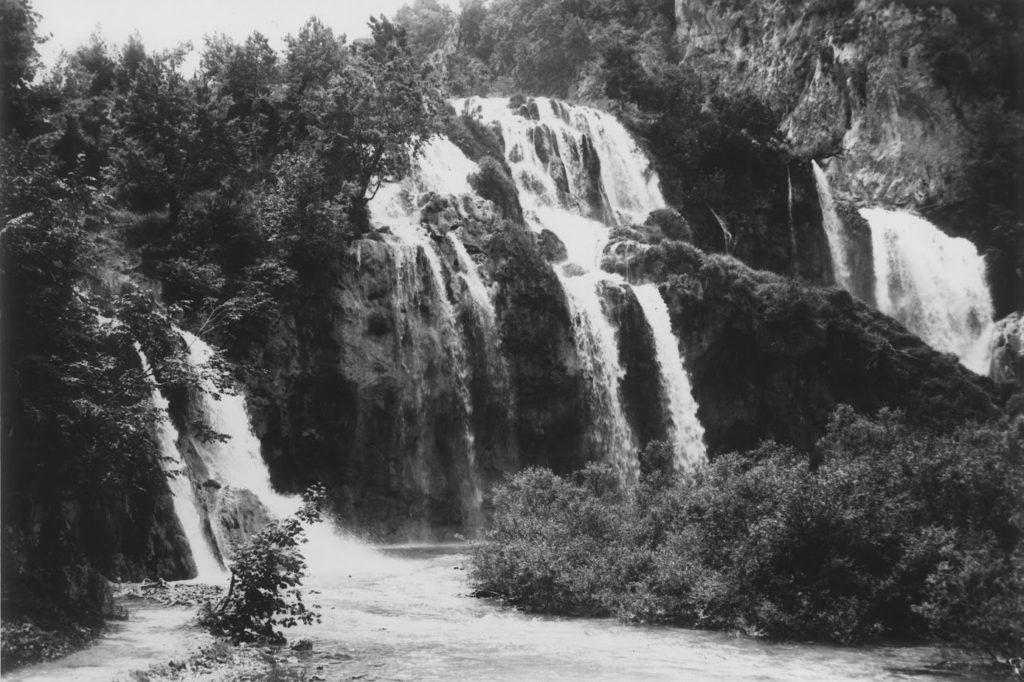
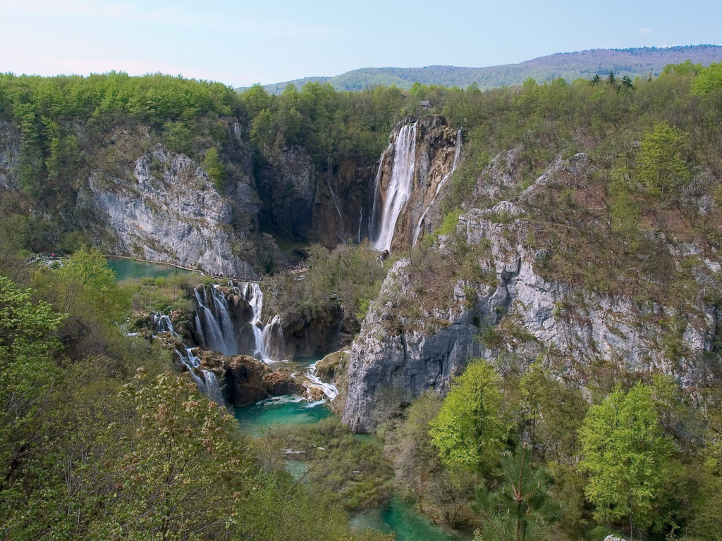
Source of Plitvica Stream is at 610 mas, near the hamlet of Rodic Poljana and never goes downhill. After a 4 km long flow of water, the stream affects the lake system over 78 m of high limestone rock forming one of the most famous visions of the national park – the Veliki slap waterfall, the highest waterfall in the Republic of Croatia.
Under the water surface
How the life of Plitvice lakes looks like under the water surface? Part of the answer to this question can be given through series of photographs that were taken several years ago by Goran Šafarek, Croatian biologist, publicist, explorer, photographer and recorder. We will experience the fascinating world of plant and animal species, the mysterious sunken trees, thousands of years old tufa barriers and strength and dynamic of waterfalls coming into the lakes. In other words, we will experience the magnificence of water. Enjoy!
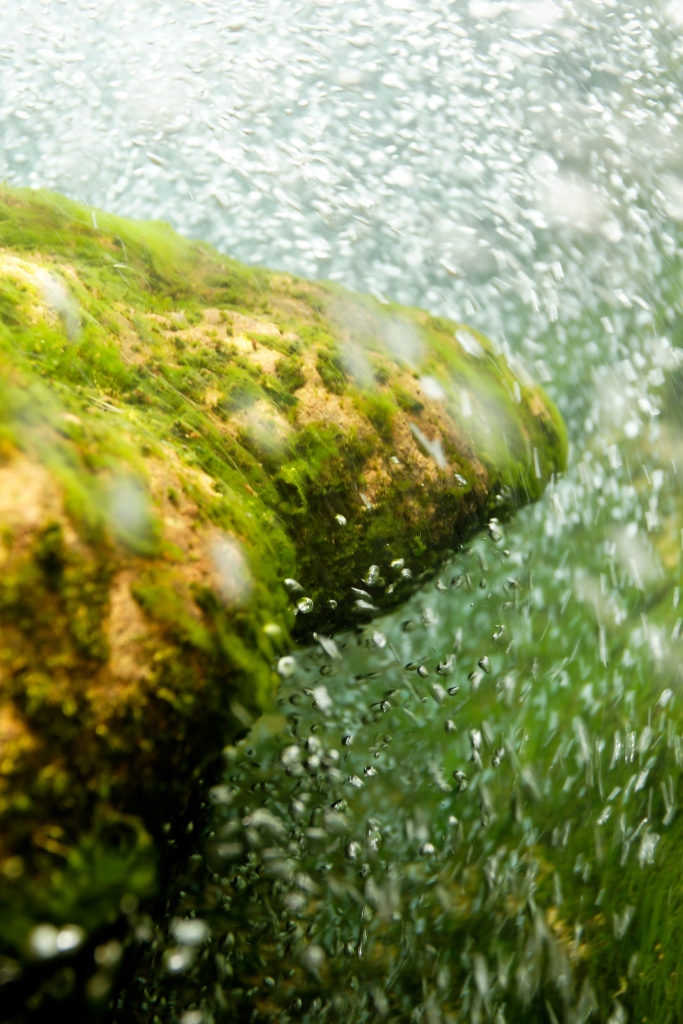
Foto: Goran Šafarek
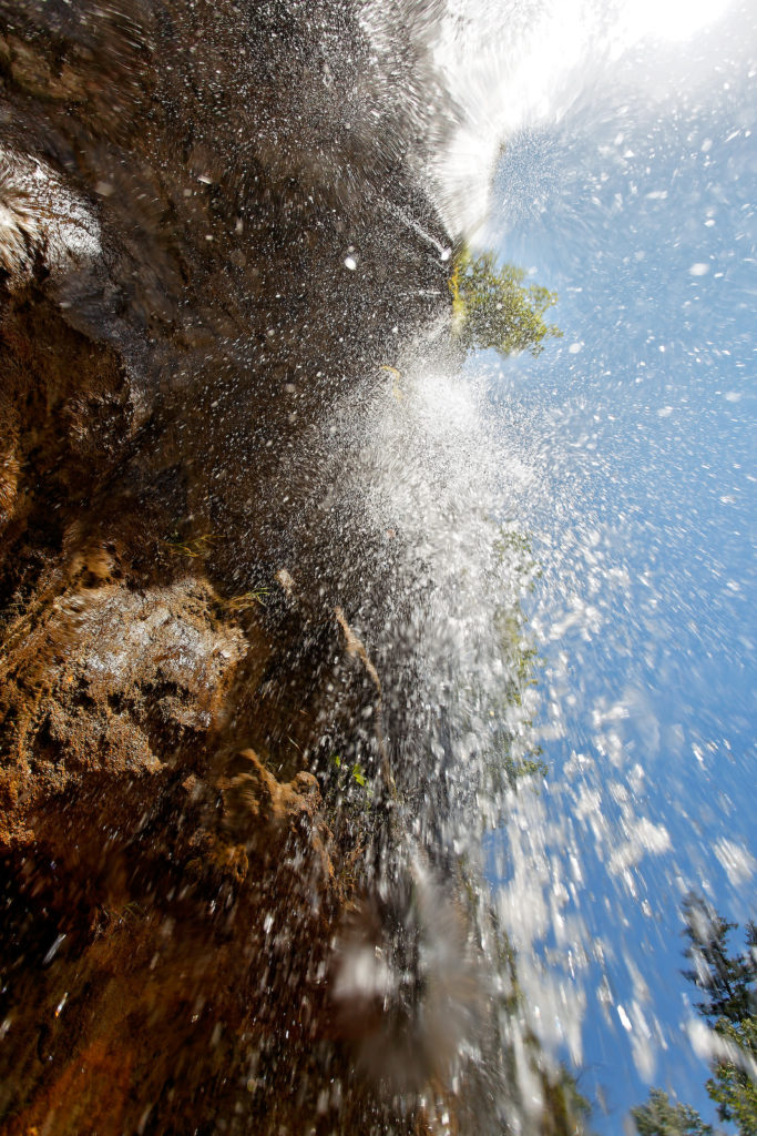
Foto: Goran Šafarek
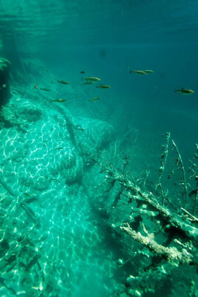
Foto: Goran Šafarek
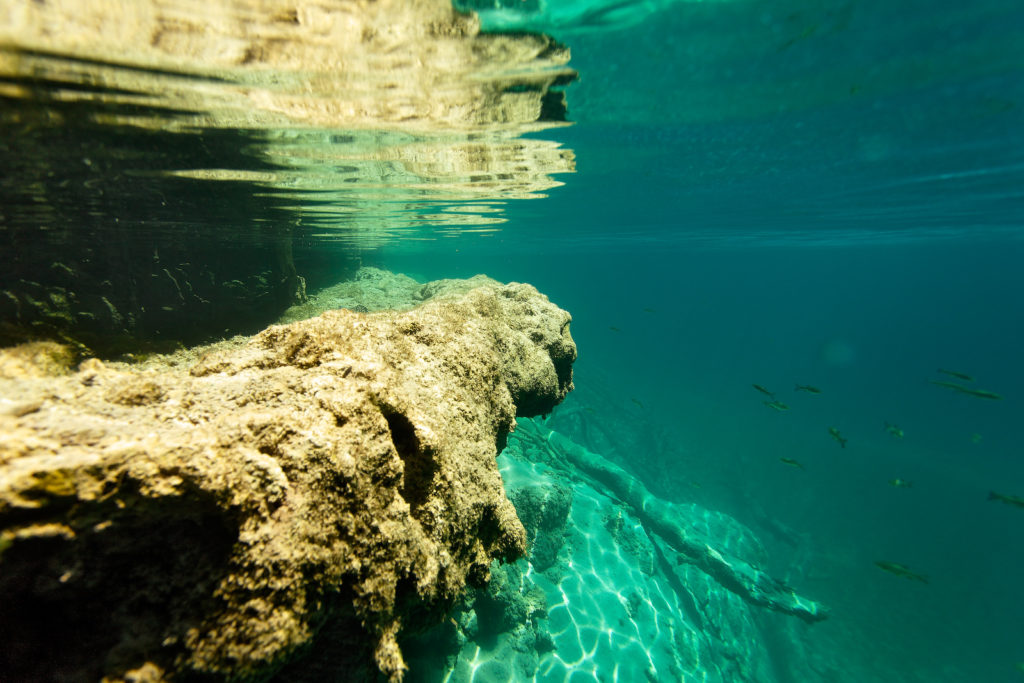
Foto: Goran Šafarek
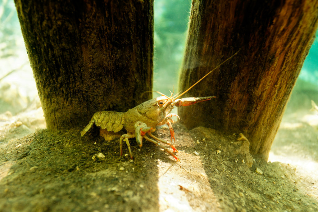
Foto: Goran Šafarek
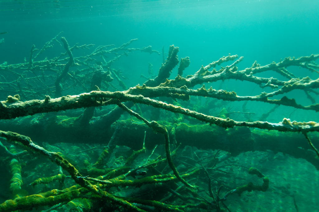
Foto: Goran Šafarek
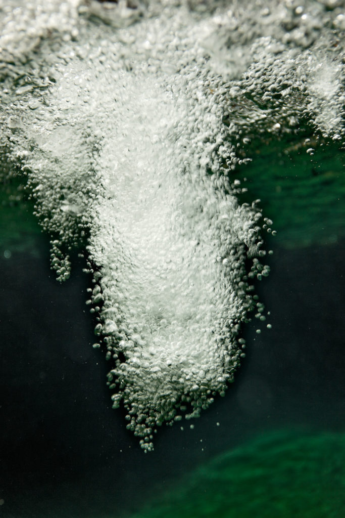
Foto: Goran Šafarek
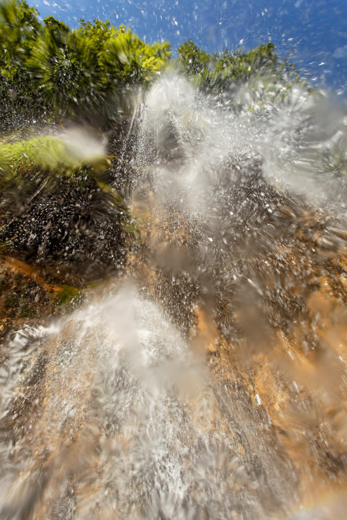
Foto: Goran Šafarek
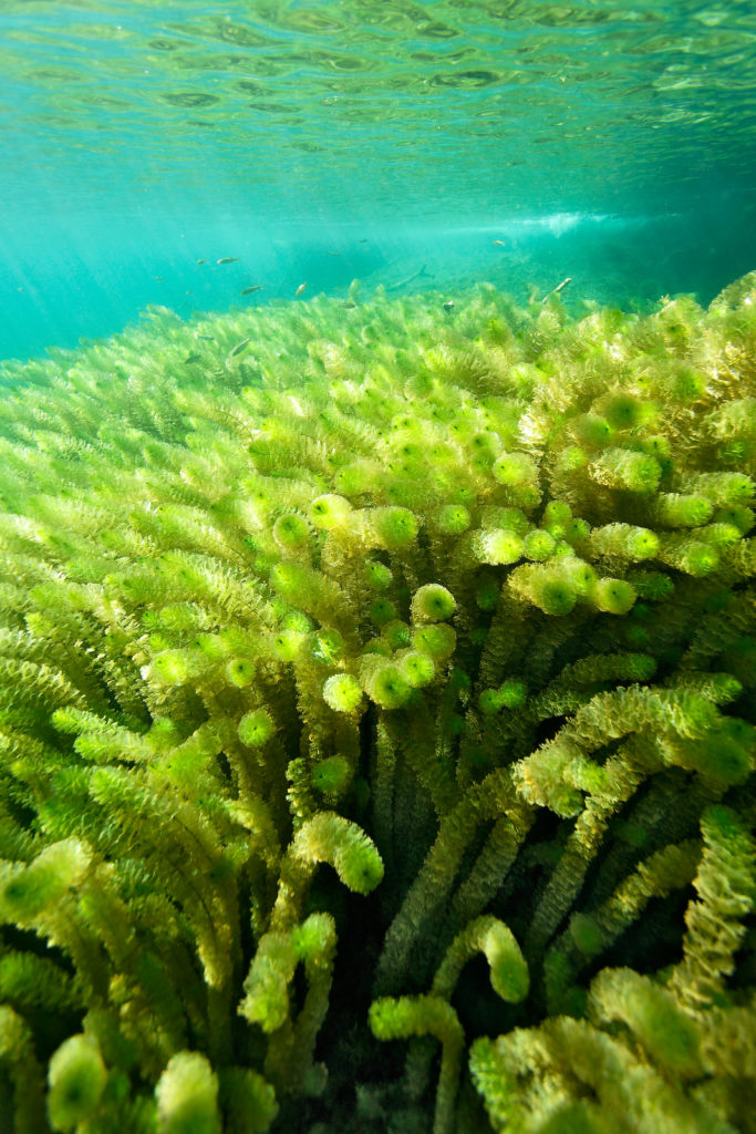
Foto: Goran Šafarek
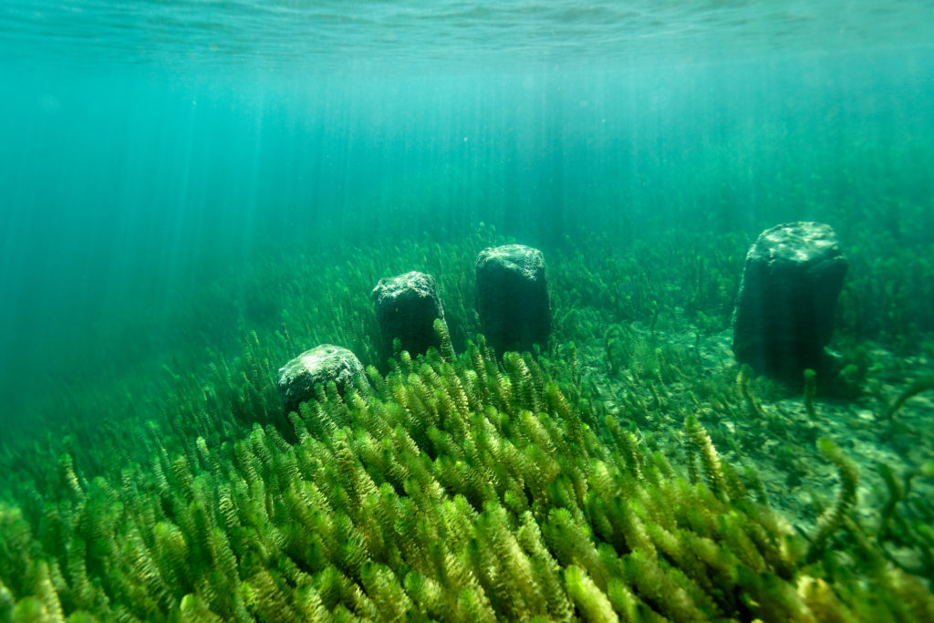
Foto: Goran Šafarek
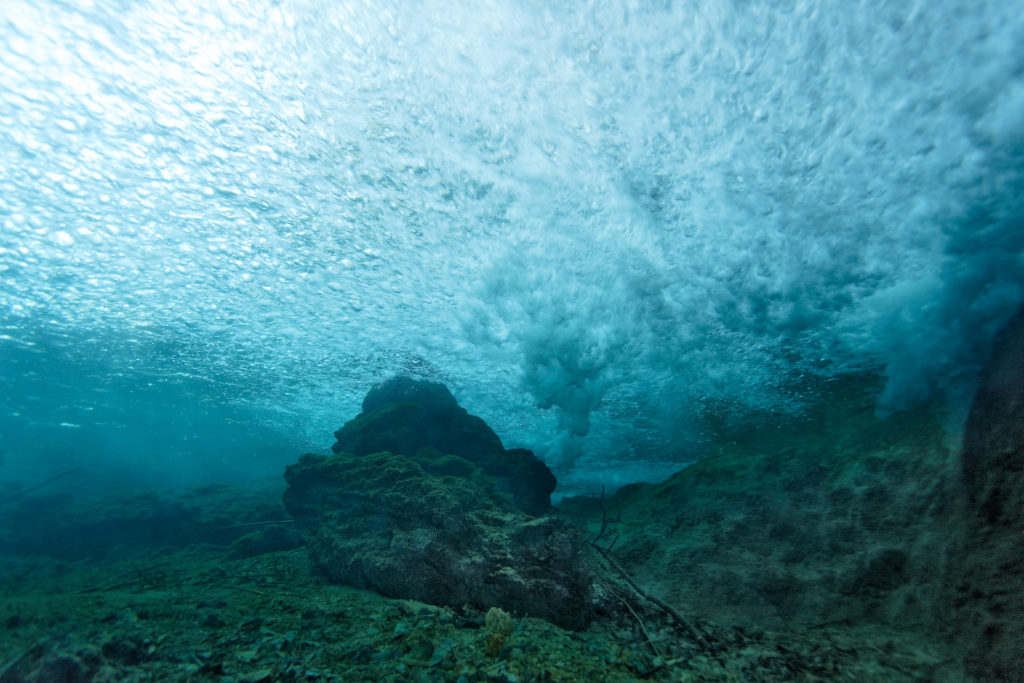
Foto: Goran Šafarek
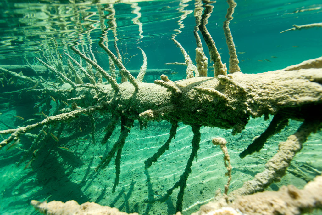
Foto: Goran Šafarek
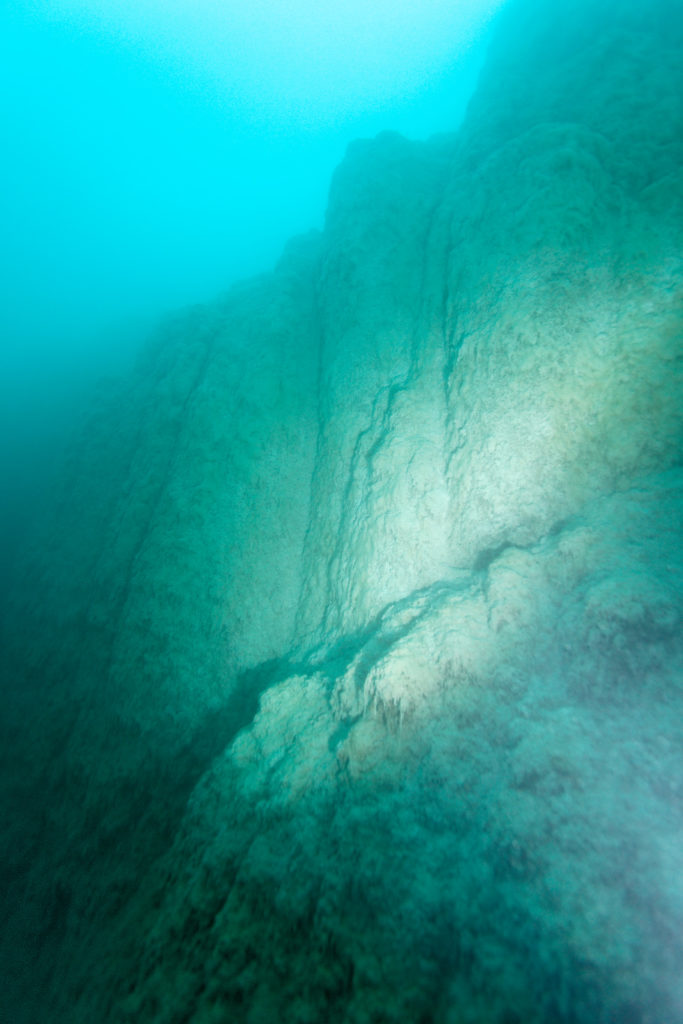
Foto: Goran Šafarek
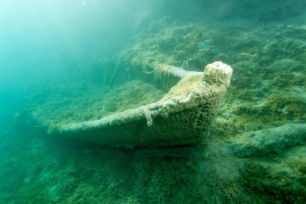
Foto: Goran Šafarek
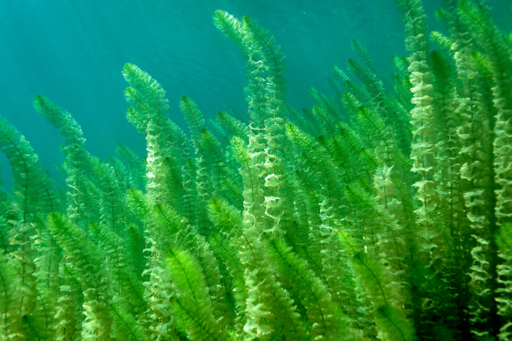
Foto: Goran Šafarek

Foto: Goran Šafarek
With Korana river to the Black Sea
Beneath the lake outlet barrier of the last lake Novakovića brod, all the water from the lake system and water from Plitvica stream, merge to form the source of river Korana. On this way, the whole national park`s water richness comes together at the source of this karst river.
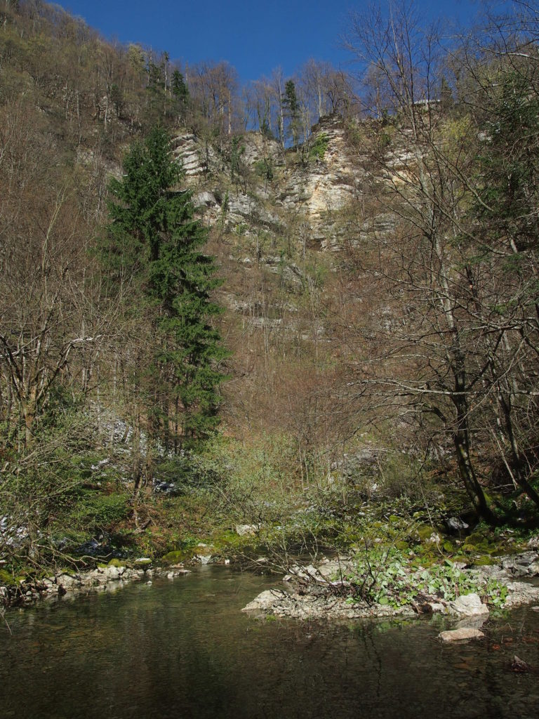
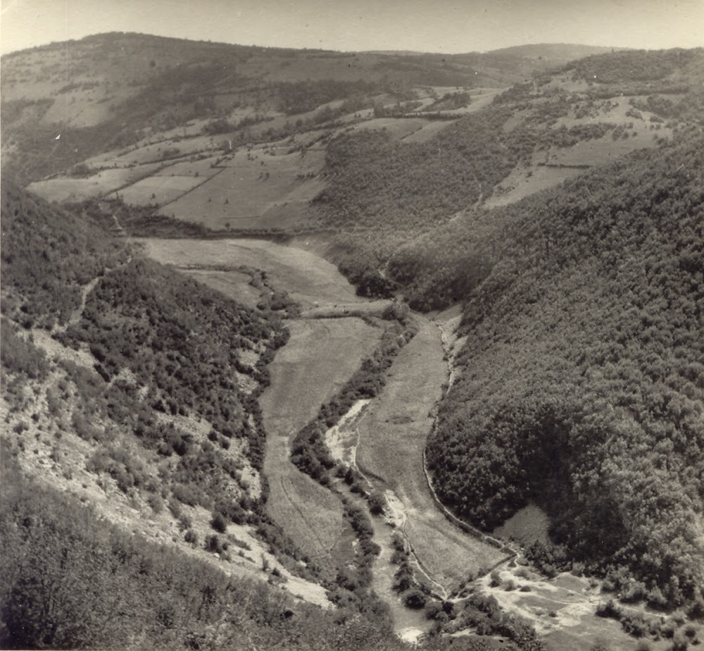
River Korana continues the flow through the canyon and on four places the water falls over tufa barriers. Downstream of village Korana during dry, summer season, the river sinks underground and the riverbed is waterless for almost 14.5 km. On the 134 km long way to Karlovac, Korana receives water from many permanent and temporary watercourses among which the most significant ones are Slunjčica and Mrežnica. In Karlovac, the river Korana merges with Kupa and continues the flow to Sava estuary. This water path further goes toward Dunav where the coming river inflows on the right side and by the volume of water it represents the biggest tributary. This long, freshwater journey of river Korana finishes at the estuary of Dunav into the Black Sea.
We can say that the water of Plitvice lakes is connected with all the World seas. This is another proof that Plitvice lakes are not only Croatian heritage but are in the true sense of the word the World heritage.
*The origin of the river Korana name is not yet known. By some interpretations the name Korana is derivative from the word “kora” (plant bark), and by others the name has its origin from the word “Gorana” which means water that flows from the mountain. The name can also be connected with the riverbed that is surrounded with deep canyon cliffs.
Korana waterfall
Korana waterfall
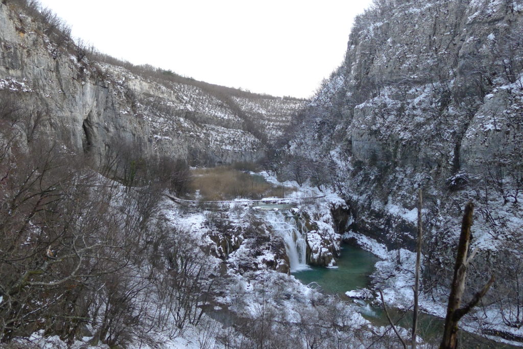
Source of river Korana
Source of river Korana
Canyon of river Korana
Second Korana waterfall
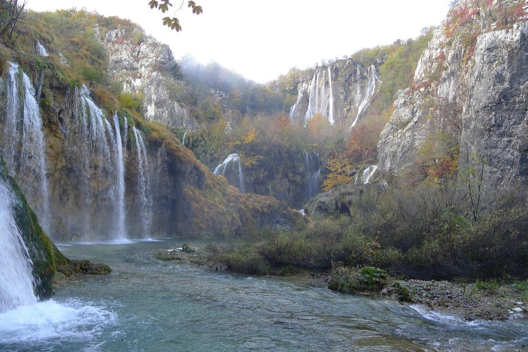
Sastavci and Big Waterfall
Note: Water Week is the seventh of eight promotional weeks by which we want to announce birthday of Plitvice Lakes National Park. Find out more
Your Plitvice Lakes National Park